ETL stuff relates to importing data sources into new tables or existing ones …
When working with GIS we want to import data from different data sources …
To import a given data source we will:
- download the file
- import using ogr2ogr
- may have specific settings for the data source
First we want to import the file using ogr2ogr. I’ll build a wrapper around the CLI tool and point it to the right file.
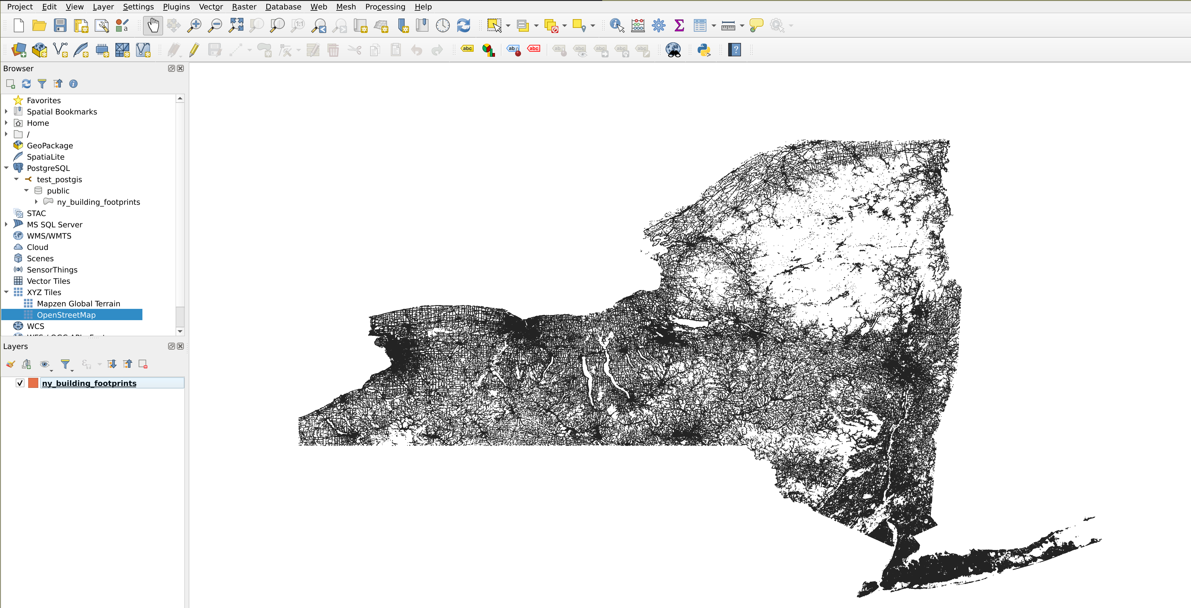
Viewing the data
- Download QGIS, it’s easy to download
- Connect to the PostGIS database
- From the menu: Layer → Add Layer → Add PostGIS Layers → New
- Done
Data source: https://github.com/microsoft/USBuildingFootprints
 Add OSM:
6. From the Browser, scroll down to XYZ Tiles → OpenStreetMap
7. Bring the OSM layer down
Add OSM:
6. From the Browser, scroll down to XYZ Tiles → OpenStreetMap
7. Bring the OSM layer down